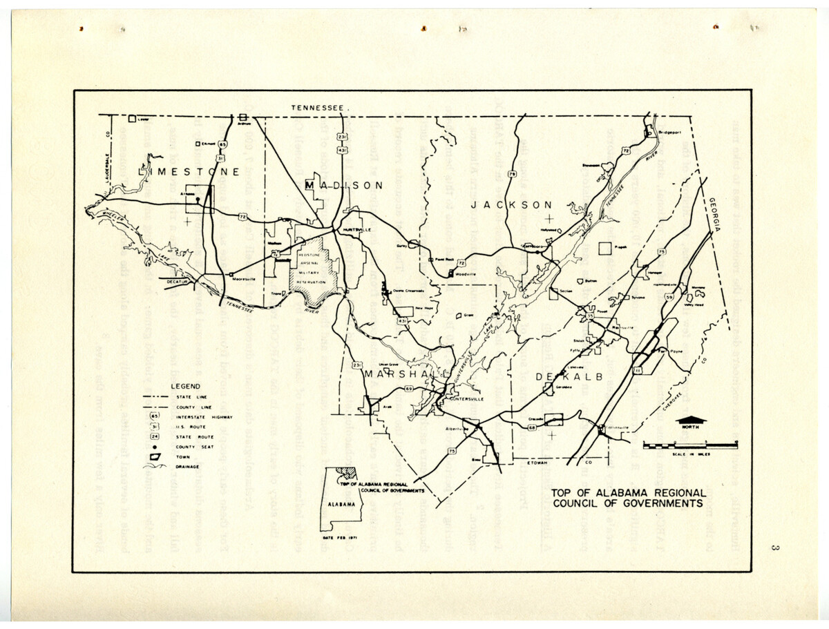
Map of the area covered by the Top of Alabama Regional Council of Governments (TARCOG), taken from a 1973 historical survey.
Item
Dublin Core
Identifier
loc_robf_000319
Title
Map of the area covered by the Top of Alabama Regional Council of Governments (TARCOG), taken from a 1973 historical survey.
Date
1973
Temporal Coverage
Subject
Source
Frances Roberts Collection
University of Alabama in Huntsville Archives, Special Collections, and Digital Initiatives, Huntsville, Alabama
Language
Rights
This material may be protected under U. S. Copyright Law (Title 17, U.S. Code) which governs the making of photocopies or reproductions of copyrighted materials. You may use the digitized material for private study, scholarship, or research. Though the University of Alabama in Huntsville Archives and Special Collections has physical ownership of the material in its collections, in some cases we may not own the copyright to the material. It is the patron's obligation to determine and satisfy copyright restrictions when publishing or otherwise distributing materials found in our collections.
Citation
Top of Alabama Regional Council of Governments, “Map of the area covered by the Top of Alabama Regional Council of Governments (TARCOG), taken from a 1973 historical survey.,” UAH Archives, Special Collections, and Digital Initiatives, accessed October 2, 2025, http://libarchstor2.uah.edu/digitalcollections/items/show/3746.
