Browse Items (6 total)
Sort by:
-
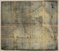
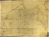
"Plat of Monte Sano."
Drawn for James F. O'Shaughnessy, the map shows the Monte Sano Hotel, the community of Viduta, Laura's View and Laura's View Station, and natural features of the mountain, such as Chalybeate Spring and Natural Well. The map also features names of property owners O'Shaughnessy, J. R. Stevens, Mrs. M. W. Wells, Milton Humes, and W. J. Pulley. -
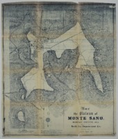
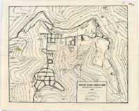
"Map of the Plateau of Monte Sano, Madison County, Ala."
Drawn for the North Ala. Improvement Co., the map details various natural features of Monte Sano, the James F. O'Shaughnessy estate "Mountain Villa," the Hotel Monte Sano, the community of Viduta, and the Monte Sano Railway. -
Aerial photograph of Monte Sano Mountain in Huntsville, Alabama and surrounding areas.
The photograph shows Monte Sano at lower center, with Governors Drive at left and Bankhead Highway at right. -
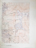
Plat map of Monte Sano.
The map shows neighborhoods, boundaries, and structures on Monte Sano as well as the surrounding areas. Land owned by Monte Sano State Park and the Burritt Museum is designated. -
"Monte Sano Park: The Master Plan."
The map notes park roads, buildings, telephone lines, trails, overlooks, and cliffs, and includes drawings of picnic and camping areas, a pool, and a lodge. Locations such as Inspiration Point, the former site of the Monte Sano Hotel, Natural Well, O'Shaughnessy Point, the fire tower, and the C.C.C. camp are marked. The map was taken from "aerial photographs as drawn by O.G. Graves" based on a land survey conducted by John F. Davis. -
Topographical map of Monte Sano.
This map was drawn by William W. Varnedoe, Jr. and published by the Monte Sano Civic Association. It shows Monte Sano's neighborhoods, the state park, and the mountain's natural features, including springs and caves. The map also notes changes in elevation.
